A Walk by Stonehenge – part 2 – Woodhenge
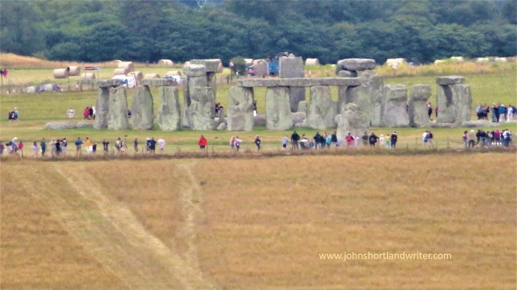
The prehistoric monument of Stonehenge was built in alignment with the sunrise of both the summer and winter solstices. For many, it is a sacred time and a moment to connect with our ancestors of 5000 years ago. With the Summer Solstice just days away it seems appropriate to write the conclusion of a relatively gentle walk that incorporates not just Stonehenge but also the nearby and lesser-known Woodhenge. Part 1 of the walk, along with photos, can be found by clicking on the link here.

Access to the stones of Stonehenge is usually restricted by a fence to prevent the one million visitors that view them every year from damaging the stones by touch, or by eroding the ground the stones stand on. For the solstice the fence is removed so that it is possible to walk amongst the stones and to witness the sun as it rises behind the Heel Stone. Thousands of people will attend the solstice but I prefer solitude for my walks whenever possible. I would choose to stand at the Cursus and to look down on the stones (and the crowds) or even to sit silently at Woodhenge.

So what is Woodhenge? The official description is “a timber monument comprising of six oval rings of posts”. Not the most inspiring but the more you explore Woodhenge the more fascinating it becomes. Of course, the timber posts have long since rotted, and now their positions are marked by low pillars of differing diameters. As you walk amongst them and begin to picture the timber posts, the tallest of which reached 9 metres (30 foot) in height and weighed five tons, you realise just how awe-inspiring it must have been, especially if they were coloured or carved in some way.
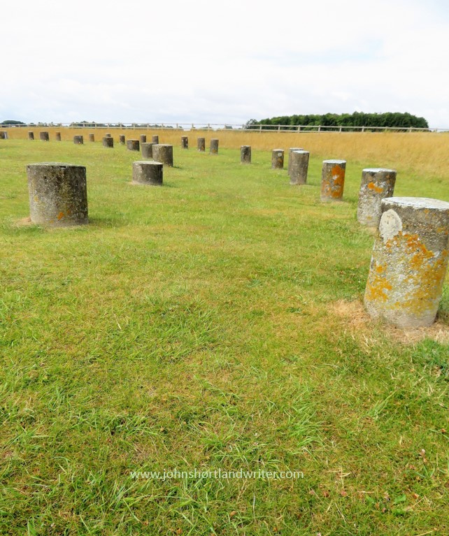
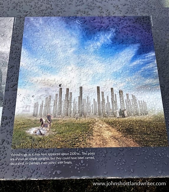
Woodhenge was built at the same time as Stonehenge and on the same summer/winter solstice alignment. The two henges, two miles apart, were possibly connected by paths, one showing as banks and ditches is marked on maps as Stonehenge Avenue. The Cursus also is in direct alignment with Woodhenge and in those pre-history days the two monuments probably could be seen from these points.
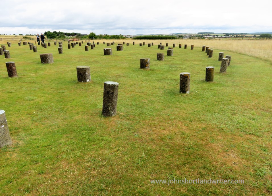
Excavation of the site took place in 1926 but it is only now that more detailed studies are taking place. The initial dig discovered the body of a child at the centre of the circle and it was thought to have been sacrificed there. The remains were taken to London for later examination but were destroyed by bombing during WW2 before this took place. The grave is now marked by a small stone cairn. Other remains found within the circle were numerous pieces of pottery, butchered pig bones and, just outside the entrance, the body of a teenager. These finds indicate that activity at the site continued for many hundreds of years, long after the posts had rotted.
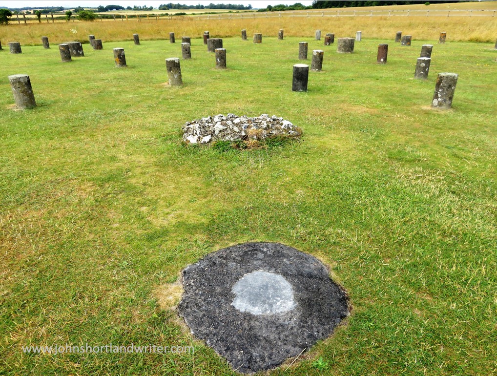
Although the purpose of Woodhenge can only be surmised, the recent interest in it and its relationship to Stonehenge, Durrington Walls and other sites within the Stonehenge World Heritage Site, slowly reveal more connections between them. One such thought is that it may have held a spiritual connection with Stonehenge: the stones of Stonehenge being the enduring place of the spiritual world, whereas Woodhenge, with its feasting and slowly decaying timbers, the transformation of life towards death. Interestingly, similarities with ancient sites in Madagascar, although 4000 years later than those in England, can be found.
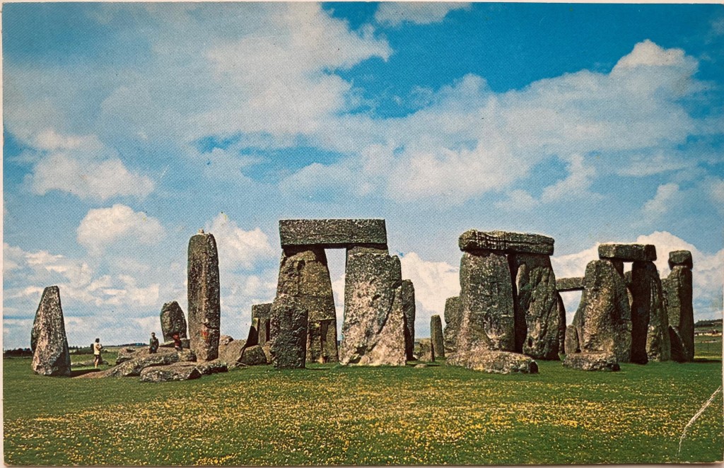
To visit Stonehenge for free involves a walk not dissimilar to this one. Park in Durrington village and take the public bridleway path (where it meets Fargo Road) directly south to Stonehenge. The path passes the stones within yards of the public viewing path so you will still be separated from the stones. Public footpaths continue southwards, criss-crossing an area rich in more barrows and other ancient earthworks. With the help of an Ordnance Survey map it should be quite possible to make a longer, circular walk.
**Click on any of the images to enlarge**
Sources:
English Heritage Wikipedia
Comments
Post a Comment